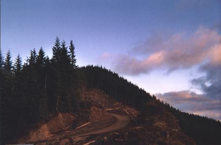
You know, I’ve got to stop doing this! I’m supposed to be completing my guide for the two overland routes from Portland to the Coast and focusing on filling in the detail on all the walks north and south of US 26, but then I get this urge to scout out another remote and dramatic feature of the Coast range – like Roger’s Peak – the highest peak in the north Coast range Mountains at 3706 ft.
Consider that Sandy, Oregon is situated at about 1,000 feet in elevation and Government Camp at about 4,000 feet in elevation. To ascend the 3,000 feet US 26 takes 30 miles to make the ascent. From the Salmonberry River (880 feet) to the top of Roger’s Peak (3706 ft) it’s only 3.5 miles as the crow flies – that almost 10 times steeper than the slope of the Cascades!
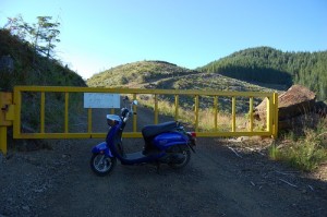
So there I was last Sunday, parked flush up against the gate that barred access to the private logging land around Roger’s Peak. Just a word of advice the road is pretty narrow up near the gate, so turning around is a bit problematic. You can either turn first and back up the the gate or back down again until you can turn.
To get to this gate drive just beyond Lee’s Camp on Highway 6 and turn right. Follow the North Fork of the Wilson River past Diamond Mill Park. Eventually you will come to a bridge that goes straight up the North Fork of the Wilson River – turn left and follow this fork of the Wilson river in a westerly direction. presently, you will encounter a bridge on your right that crossed this Fork of the Wilson and climb up into the Morris Creek watershed. Follow this steep tertiary road (dotted line) that leads up to the head of the Morris Creek canyon.
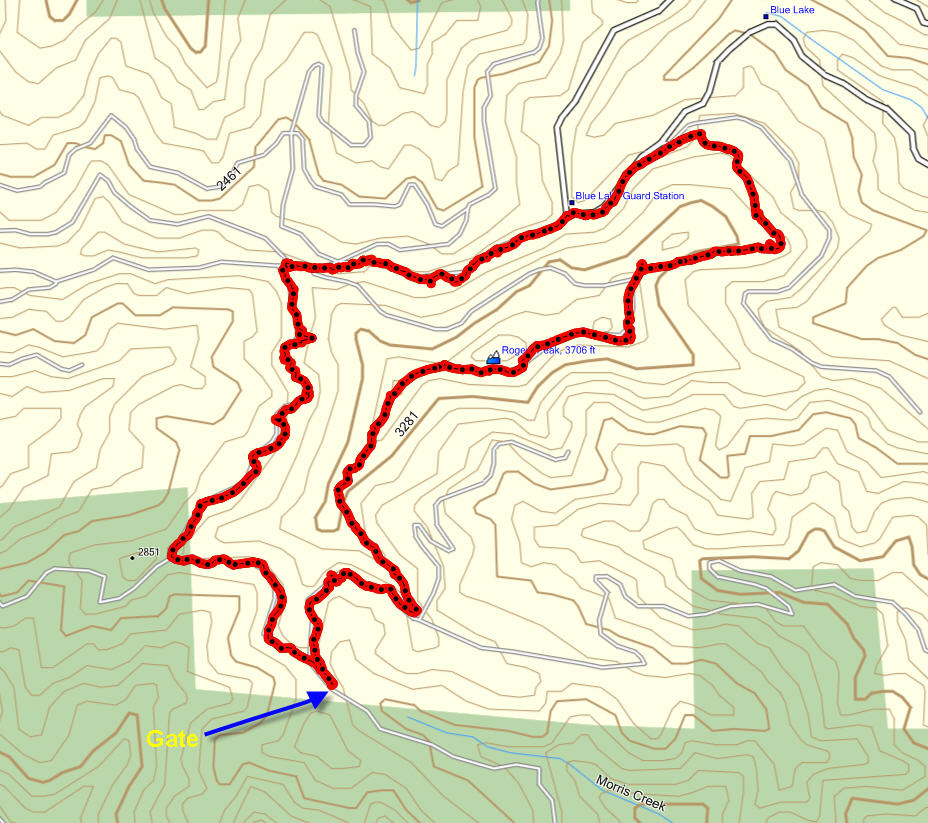
Max and I walked up over the ridge line and looked down into the Ripple Creek watershed. We proceeded onwards walking around Roger’s Peak to find the beginning of the Belding Road – that infamous 3,000 ft. descent down to the Salmonberry River. But given the time required to get to the top of the Belding Road it was not feasible to descend the 6.6 mile to the river. So instead Max and I decided to climb Roger’s Peak – a 14 mile circuit.
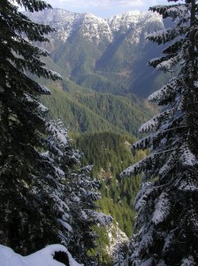
 It was remote, rugged and beautiful with view across the North Coast range that couldn’t be beat! Here’s a beautiful shot from the internet taken in the winter snows.
What I was really reconnoitering was the southern access road to the Salmonberry River. At the base of Beaver Slide Road there used to be a bridge that crossed the river and ascended the southern shore, climbing all the way to the Standard Grade road that runs alongside Roger’s peak. I wanted to locate that road so that I might eventually walk down it to the Salmonberry River. The maps show the Belding Road descending from near the top of Roger’ 3706 foot peak down to the river at about 880 feet – a drop of almost 3,000 feet in less than 2 miles horizontally. Sure I might be able to get down to the river, but getting back…?
Two and a quarter miles from the gate we did finally encounter the 5 -way intersection 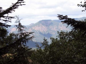 that marks the beginning of the Belding Road. But by then we had decided to walk the circuit of the peak climbing over the top on the return leg. This route took us to the Northeastern corner of the mountain where we could look out and see King’s Mountain and Saddle Mountain to the north. To the northwest was the deep Salmonberry valley with massive escarpments shining pink in the late afternoon sun.
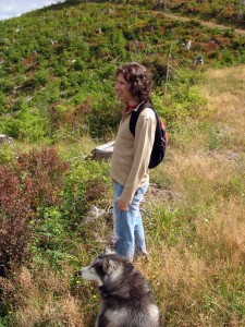 At the north end of the mountain, we took the circuit route and then another steeper option that takes you up the shoulder of the face on to the top of the mountain. The grade gets progressively steeper and the rock underfoot chunkier, but eventually four and a half miles into the hike we arrive at the first north-facing promontories that appears to represent a “high point”. From here we gained a spectacular view of the North Coast range all the way to Saddle Mountain. Spread out before us were the watersheds for Ripple Creek and Bathtub Creek – both of which we
 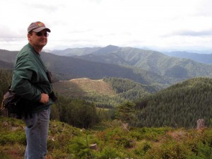 crossed on our way down the Salmonberry a couple of week before.
The track we were on exhibited much elk and deer traffic, but no evidence of bears – although the berry bushes had certainly been stripped base.
From the first vantage point at 3415 ft, we continued to climb another half mile eventually reaching a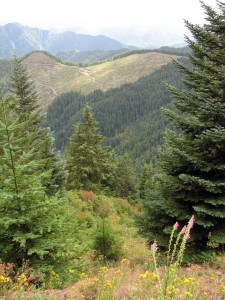 narrow ridge that separates the southern flank from the northern flank at an altitude of 3568 ft. Moving along the top of this mountain the road dips a bit (3517 ft.), but quickly ascends again to to about 3553 – before finally slopping down a southwards facing ridge. On the south side the slope is very steep and falls away to Morris Creek about 1000 feet below.
The descent continues over an overgrown route eventually intersecting with a well maintained road that traverses the southern slope. We turn right on this road and follow it back out to the gate. In all the circuit was 7.15 miles in length and took about 3 1/2 hours to complete.
Final thoughts: great views, rugged terrain, exposed to coastal weather – well worth the effort.

